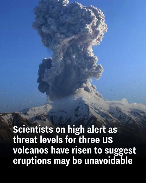
Scientists have issued urgent warnings as seismic activity increases around three notable volcanoes in the United States: Alaska’s Great Sitkin and Mount Spurr, and Hawaii’s Kilauea. Each of these volcanoes has shown disturbing shifts beneath the surface—signs that magma is rising and eruptions could be imminent. With lava emissions, ground deformation, and earthquake swarms ramping up, these giants are transitioning from dormant to dangerous, triggering heightened alert levels and round-the-clock monitoring.
Growing Unrest: Scientists Detect Increased Seismic Activity
What’s setting off the alarm bells? It all comes down to a sudden spike in seismic behavior. Sensors near all three volcanoes are detecting earthquake swarms, many of them shallow and frequent—classic indicators that magma is pushing upward toward the Earth’s crust.
- Great Sitkin, located in Alaska’s Aleutian chain, has officially been placed on “Watch” status, level three in a four-tier system. Lava has begun emerging from its summit crater.
- Mount Spurr, just 75 miles west of Anchorage, has shown a fourfold increase in earthquake frequency—climbing from 30 to 125 quakes per week since April 2024.
- Kilauea, the restless volcano in Hawaii, erupted again on February 11, its ninth eruption since December 2024, sending lava 300 feet into the air within Hawaii Volcanoes National Park.
The tremors aren’t random—they’re telling us something’s brewing. And experts are listening closely.
Rising Magma Levels: What This Means for Nearby Communities
Magma doesn’t just sit still. When it rises, it builds pressure—and pressure underground is a recipe for explosive events. These growing magma chambers beneath Great Sitkin, Mount Spurr, and Kilauea could lead to:
- Violent eruptions
- Lava flows capable of destroying infrastructure
- Ash clouds disrupting air travel and harming respiratory health
- Toxic gases, including sulfur dioxide and volcanic glass particles
For nearby towns and cities—especially Anchorage and regions surrounding Hawaii’s Big Island—this means one thing: Prepare now. Emergency kits, evacuation routes, and constant updates from geological agencies are essential as threat levels continue to rise.
Video : Volcanic eruption explained – Steven Anderson
From Dormant to Dangerous: Why These US Volcanoes Are Now a Concern
These volcanoes weren’t always top of mind. In fact, Mount Spurr hadn’t erupted since 1992. But over the past year, that status has quietly changed. Small shifts underground have evolved into a clear pattern: sustained seismic increases, along with gas emissions and surface swelling.
Kilauea, always active, is now erupting more frequently—and more violently. Great Sitkin, while remote, is showing similar signs of building pressure. When all three volcanoes begin exhibiting the same early-warning signals, it’s no longer coincidence. It’s a coordinated geological shift, and the stakes are high.
Historical Eruptions: Learning from the Past to Predict the Future
Volcanologists rely heavily on past eruptions to understand what comes next. Consider the devastating 1980 Mount St. Helens eruption—it began with increased seismic activity and minor explosions. Or Kilauea’s 2018 eruption, which sent lava pouring into neighborhoods after weeks of precursor tremors and gas release.
Now, experts are seeing eerily similar patterns across these three volcanoes. The uptick in seismic unrest, rising magma, and gas emissions match the early phases of previous eruptions. That’s why experts are reinforcing predictions with historical data—using it to sharpen their models and fine-tune their response protocols.
The Science of Eruption Predictions: How Experts Assess the Risks
Predicting volcanic eruptions isn’t guesswork—it’s science backed by an arsenal of tools:
- Seismographs track the frequency and depth of earthquakes.
- Ground deformation monitors detect swelling or sinking land surfaces.
- Gas analyzers measure changes in sulfur dioxide and carbon dioxide levels.
- Satellite imagery captures thermal patterns and new surface cracks.
- Drones and infrared cameras provide close-range visuals of vents and craters.
By layering these data points, scientists build real-time risk maps and eruption forecasts. It’s not about predicting the exact day an eruption will occur—but rather spotting the moments when a volcano shifts from calm to volatile.
Volcanic Threat Zones: Which Areas Could Be Most Affected?
Each volcano poses unique threats depending on its location and eruption history:
- Great Sitkin: While isolated in the Aleutian Islands, its eruptions could severely affect air traffic across the North Pacific, as ash clouds disrupt flight paths.
- Mount Spurr: Just a short distance from Anchorage, Alaska’s largest city, Spurr’s ash could shut down power grids, airports, and pose serious health risks to hundreds of thousands.
- Kilauea: Located in a tourist-heavy region, Kilauea’s lava flows and volcanic gases could force evacuations, close down national parks, and impact air and water quality.
These aren’t theoretical risks. Each of these volcanoes has a history of powerful eruptions. And now, with all signs pointing to renewed activity, the surrounding communities could face serious consequences if they’re caught unprepared.
What Comes Next? Potential Scenarios If These US Volcanoes Erupt
If even one of these volcanoes erupts, we’re looking at a chain of potential events:
- Volcanic ash fallout, blanketing towns and affecting crops and lungs.
- Airport closures, especially across Alaska and Hawaii.
- Damage to roads and homes from lava or lahar flows.
- Disrupted tourism and economic losses, especially near Kilauea.
- Evacuations and widespread emergency response efforts.
Video : Biggest Volcano Eruption Comparison On The Earth 🌋🌋
Government agencies are already reviewing and updating evacuation plans, stockpiling resources, and coordinating with scientists to ensure early warning systems are ready.
But time is everything. Eruptions often happen with minimal warning, and minutes can make the difference between safety and disaster.
Conclusion
Three of America’s most closely watched volcanoes—Great Sitkin, Mount Spurr, and Kilauea—are sending clear signals: magma is rising, pressure is building, and the threat of eruption is real.
While there’s no way to predict the exact moment an eruption will occur, all indicators are pointing in one direction. Scientists are on high alert, and officials are urging communities to stay informed, stay prepared, and take these warnings seriously.
The ground is moving. The pressure is rising. And now is the time to act—not when lava is already flowing.